
Walk a Cook County Street
Start with the exact address, but expect the answer to come from a chain. Cook County has 134 municipalities and unincorporated pockets. The same street name can cross a city line, a township line, or a ZIP boundary. First confirm the municipality and parcel. Then use the PIN, the county's parcel identification number, to keep each later search tied to the correct land.
- Enter the address in the Cook County Assessor search. Copy the PIN and the displayed property location.
- Open CookViewer. Select the parcel and click nearby lots to map the street.
- Check the county property-information record for tax history, exemptions, mailing information, and recent document clues.
- Search the PIN in Clerk Recordings. Read the newest deed, then follow grantors and grantees backward.
- Use the official voter match or a criss-cross directory only for the narrower question each source can answer.
This street-by-street order prevents a common error: treating a mapped address as proof of who is inside a building. Parcel records identify land and recorded interests. They do not supply a full household roster. A current owner may use another mailing address, and a resident may not own the parcel.
Cook County Street Search Fields
The Cook County Assessor address search accepts a single address, while its advanced search can cover a range. The ordinary form does not provide a public owner-name text box. Use it to identify the parcel, then carry the PIN into the property and recording systems.
| Search field | Required | How to enter it |
|---|---|---|
| House Number | Yes in address mode | Numeric street number |
| Direction | No | Choose the street orientation when used |
| Unit Number | No | Use for a condo or unit |
| Street Name | Yes | Omit Ave., St., Pl., and other suffixes |
| City | Depends on validation | Enter the Cook County municipality |
| House Number Start / End | No | Advanced mode searches an address range |
| Township / Class | Conditional | Narrows a neighborhood or property-class search |
The Assessor may show a property location, class, values, exemptions, appeal history, and building facts. Read each label literally. Assessment value is not a sale price, and the property location is not guaranteed to be a postal or legal mailing address.
The Assessor address-search screen shows the live Cook County fields.
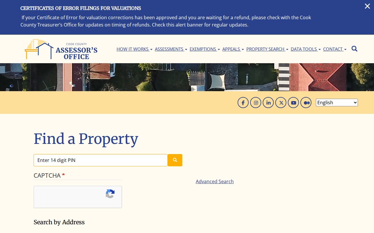
The screen confirms that house number and suffix-free street name, not a person's name, are the core inputs.
Browse Cook County by Address
A street directory search often needs more than one house. The advanced Assessor screen includes starting and ending house numbers, unit ranges, partial PIN modes, township, property class, and appeal-related fields. Use a modest address span and record each returned PIN. Large condo sites may have many unit parcels at one street point, so a single map symbol can hide several records.
The Assessor advanced-search page displays the address-range controls.
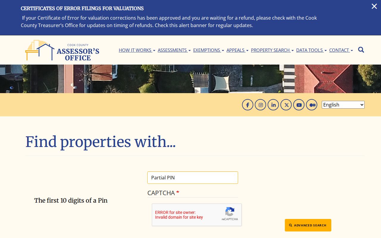
Those range fields make a by-street inventory possible without claiming that the result is a list of current occupants.
Note: Dynamic township, class, neighborhood, and year menus can change, so check the live screen instead of relying on an old option list.
Map Cook County Street Parcels
CookViewer accepts a parcel PIN, property address, regular address, or intersection. A result zooms to the parcel and opens a property panel. Direct map clicks select nearby parcels, while multiple selection helps with stacked condominium parcels. Current parcel, archived parcel, structure, municipality, unincorporated area, township, ZIP, zoning, school, transit, and public-land layers provide context.
The map is especially useful where a named street crosses local borders. It can show which municipality should hold permits or code files. CookViewer's print and report tools create working maps, not certified deeds. Names and legal interests still belong to the Assessor, Clerk, or municipal custodian.
CookViewer also exposes an archived-parcel layer for 2000 through 2023. That layer can help explain why a current PIN does not match an older tax or recording clue. Parcel splits, combinations, and condominium stacks can alter the map without changing the street's everyday name. Compare the old and current shapes, then use subdivision, lot, block, section, township, and range fields in Clerk Recordings when a PIN alone stops working. The map's ZIP and postal-community layers are useful context, but delivery geography does not define title. Likewise, zoning, transit, school, and facility layers describe the setting around a parcel, not the people at the address.
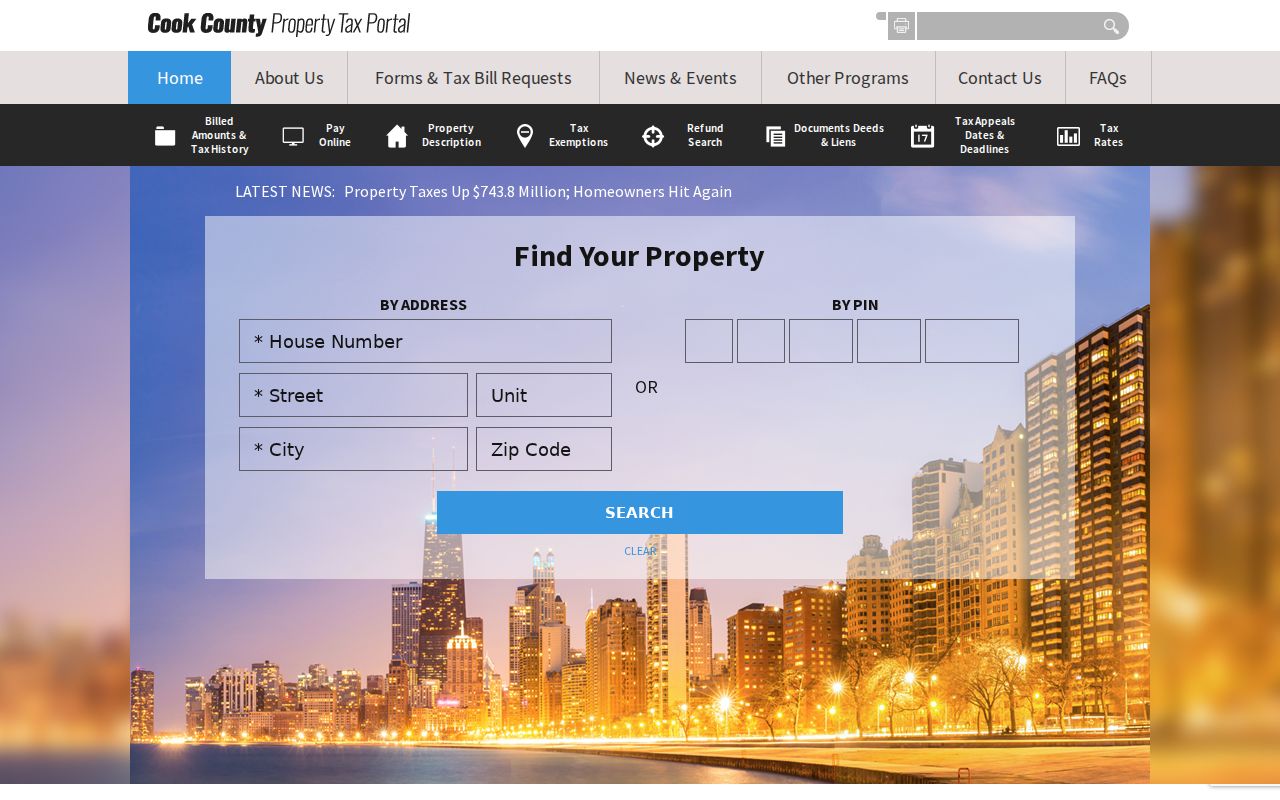
Its five-year tax view and recent-record clues deepen the parcel search, but neither establishes present occupancy.
Cook County Address Record Layers
Each Cook County street record has a distinct keeper and scope. A careful search keeps those differences visible instead of merging all names into one assumed household.
| Address source | Custodian | Evidence supplied | Access route |
|---|---|---|---|
| Parcel card | Cook County Assessor | PIN, location, class, values, exemptions, building facts | Current online card |
| Parcel map | Cook County GIS | Lot shape, adjacent parcels, municipality, ZIP, layers | CookViewer |
| Tax/property record | Cook County property portal | Tax code, five-year bills, mailing field, recent documents | Online by address or PIN |
| Deeds and liens | Cook County Clerk Recordings | Recorded parties, dates, PIN, legal description, document image controls | Online index from 1985; older office/archive route |
| Permit or inspection | Chicago or suburban municipality | Address, date, permit, inspection, project or disposition details | Portal, counter, mail, or records request |
| Historical directory | CPL, CHM, Newberry | Name-to-address or address-to-name entry for a stated year | Print, microfilm, scan, or research room |
The PIN is the best modern bridge. The legal description, which defines the land through subdivision, lot, block, or survey terms, is the safer historical bridge. An address spelling can change while those keys remain useful.
Trace Cook County Street Deeds
The recorded-document index moved under the Cook County Clerk when Recorder of Deeds functions transferred on December 7, 2020. The online system is documented from 1985 forward. Search the parcel PIN, open the newest deed-like result, and compare its legal description with the Assessor card. The grantee receives an interest; the grantor conveys it.
To move backward, search the present seller as a grantee on an older document tied to the same land. Repeat with care around trusts, spouses, quitclaims, transfers on death, corrected deeds, mortgages, releases, and liens. A deed proves a recorded conveyance. It does not prove that a named party lived there.
- Parcel
- A mapped piece of land identified in Cook County by a PIN.
- Situs address
- The property's physical locator, which may differ from its tax mailing address.
- Plat
- A recorded map of lots, blocks, subdivisions, or other land divisions.
- Criss-cross directory
- A historical directory arranged by address rather than only by surname.
Cook County Streets and Permits
Municipal borders determine the next stop. Chicago's building-record search works by address and exposes permit, inspection, violation, and disposition clues. Suburban addresses go to the municipality that issued the permit or code record. If no portal exists, use the municipal counter, phone, mail, or an Illinois Freedom of Information Act request.
The Chicago building-record portal shows its address-based search and acceptance screen.
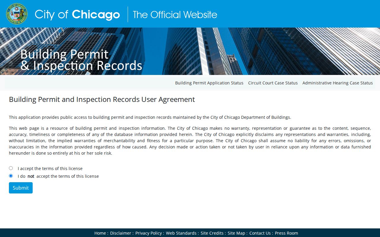
The result can date work at a building, but its disclaimer and record type must be read before linking a listed name to a resident.
Verify Cook County Street Registration
The Illinois registration lookup verifies a submitted combination of name, birth date, ZIP, street number, and selected street name. It is not a public street roster. Suburban Cook voters can also use the Cook County Clerk's voter-information channel. Illinois law restricts bulk voter data and withholds sensitive or protected address fields.
Use voter verification only when the matching personal fields are already known and the purpose is lawful. A failed match may reflect spelling, ZIP, status, a protected address, or the wrong jurisdiction. It is not proof that a person never lived at the address.
Cook County's Changed Street Numbers
Chicago changed its address system in 1909, followed by a Loop adjustment in 1911. That shift can make a real pre-change entry look absent from modern parcel and permit tools. The Lakeside conversion list, street guides, old intersections, and historic maps help translate the earlier wording. Annexation also affects which old local source held the record.
For the historical address-to-name layer, use Chicago Public Library, the Chicago History Museum, or Newberry collections. Haines criss-cross volumes and Newberry's 1953 and 1955 address-first material can reverse a street number to a listed name. Full collection coverage belongs in the Cook County city directory history.
Chicago's single-address geocoder provides a modern address check.
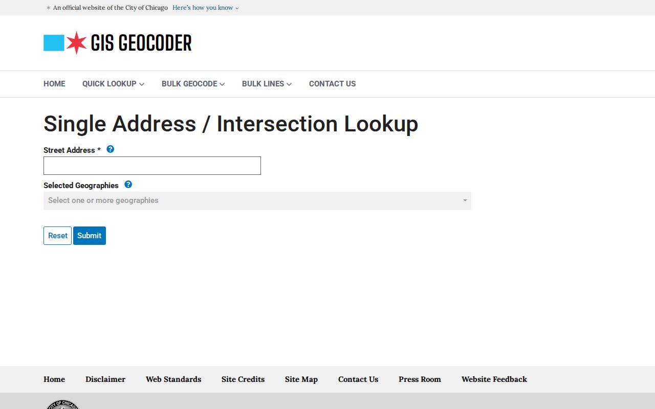
The current geocoder is a useful endpoint after old numbers have been reconciled with a conversion source.
Limits of Cook County Street Records
No official Cook County street directory supplies every current resident. Property files show parcels, taxpayers, mailing fields, and recorded interests. They omit many family members and other lawful occupants. Utility customer records and motor-vehicle address data are not open resident lists. Address Confidentiality Program participants and protected voter records may use safeguarded information.
Old volumes have their own gaps. A person may be unlisted, indexed under initials, shown at a work address, or recorded before a street conversion. Treat a directory hit as evidence for that edition and year. Pair it with a census, deed, permit, obituary, or other dated source before drawing a family-history conclusion.
When a Cook County address search fails online, keep the fallback tied to the record type. Ask Clerk Recordings about older tract or deed books for a pre-1985 ownership trail. Ask the relevant municipality for permits, inspections, or code files by counter, mail, phone, or written Illinois FOIA request. Historical street work belongs with Chicago Public Library, Chicago History Museum, Newberry Library, Illinois State Archives or IRAD, and the appropriate suburban library. Give staff the printed address, possible old number, municipality, approximate year, PIN or legal description when known, and the exact record sought. That focused request is far more useful than asking an office for every person linked to a street.
Lawful use. Cook County address records are for legitimate personal and civic research. Never use a name or location to stalk, harass, threaten, or harm anyone.