
Cook County ZIP Coverage
The Cook County GIS address and ZIP service returned 201 boundary rows representing 200 unique postal values. ZIP 60067 appears twice in the service rows. Those numbers describe GIS features, not 200 cities or post offices. The official layer pairs postal codes with address points and postal-community names, while the county's municipality layer answers a different question. Exact post-office station names were not established in the research, so every route below should be checked through USPS.
| ZIP range | Cook County areas represented | Post office | Local boundary note |
|---|---|---|---|
| 60004-60093 | Arlington Heights, Barrington area, Des Plaines, Elk Grove, Glenview, Palatine, Park Ridge, Skokie, Wilmette, Winnetka | Verify USPS | North and northwest border communities overlap postal labels |
| 60103-60196 | Bartlett, Bellwood, Elgin area, Franklin Park, Melrose Park, Schaumburg, Schiller Park, west and northwest corridors | Verify USPS | Some values serve large developments, offices, or PO-box-like uses |
| 60201-60305 | Evanston, Oak Park, and River Forest postal areas | Verify USPS | 60204 and 60208 may have special or institutional contexts |
| 60402-60499 | Berwyn, Blue Island, Calumet City, Harvey, Homewood, Lemont, Orland, Palos, South Holland, Tinley Park, south and southwest Cook | Verify USPS | Many ZIPs cross village or county-edge lines |
| 60501-60558 | Bedford Park, Brookfield, Burr Ridge, Hinsdale, La Grange, Lyons, Summit, Western Springs, western border communities | Verify USPS | A postal city may differ from the local municipality |
| 60601-60661 | Chicago central, lakefront, north, west, southwest, south, and far-side neighborhoods | Verify USPS | Several Chicago ZIPs extend toward nearby suburbs |
| 60666, 60669, 60674, 60688 | Special downtown, O'Hare, business, or PO-box-like contexts | Verify USPS | Do not assign a residential neighborhood from the code alone |
| 60706-60827 | Norridge, Harwood Heights, Elmwood Park, Lincolnwood, Niles, Cicero, Evergreen Park, Calumet Park and nearby Chicago edges | Verify USPS | City, village, and postal boundaries diverge |
This grouped Cook County ZIP code directory keeps the full regional pattern readable without inventing one station or one town for each value. For a specific person or parcel, use the five-digit code only as a filter. Confirm the street and unit, then check the municipal and parcel layers before choosing the correct Clerk, permit office, or election authority.
Cook County ZIP Layer Numbers
The unusual 201-row result is a useful warning about counting map records. Cook GIS returned 200 unique ZIP values, but duplicated 60067 as a boundary feature. A GIS row can reflect geometry or data structure rather than a distinct postal place. The layer's fields include Post_Code for the postal code and Post_Comm for the observed postal community. Address points add delivery and PIN fields.
The Cook GIS address and ZIP service exposes the map's technical structure:
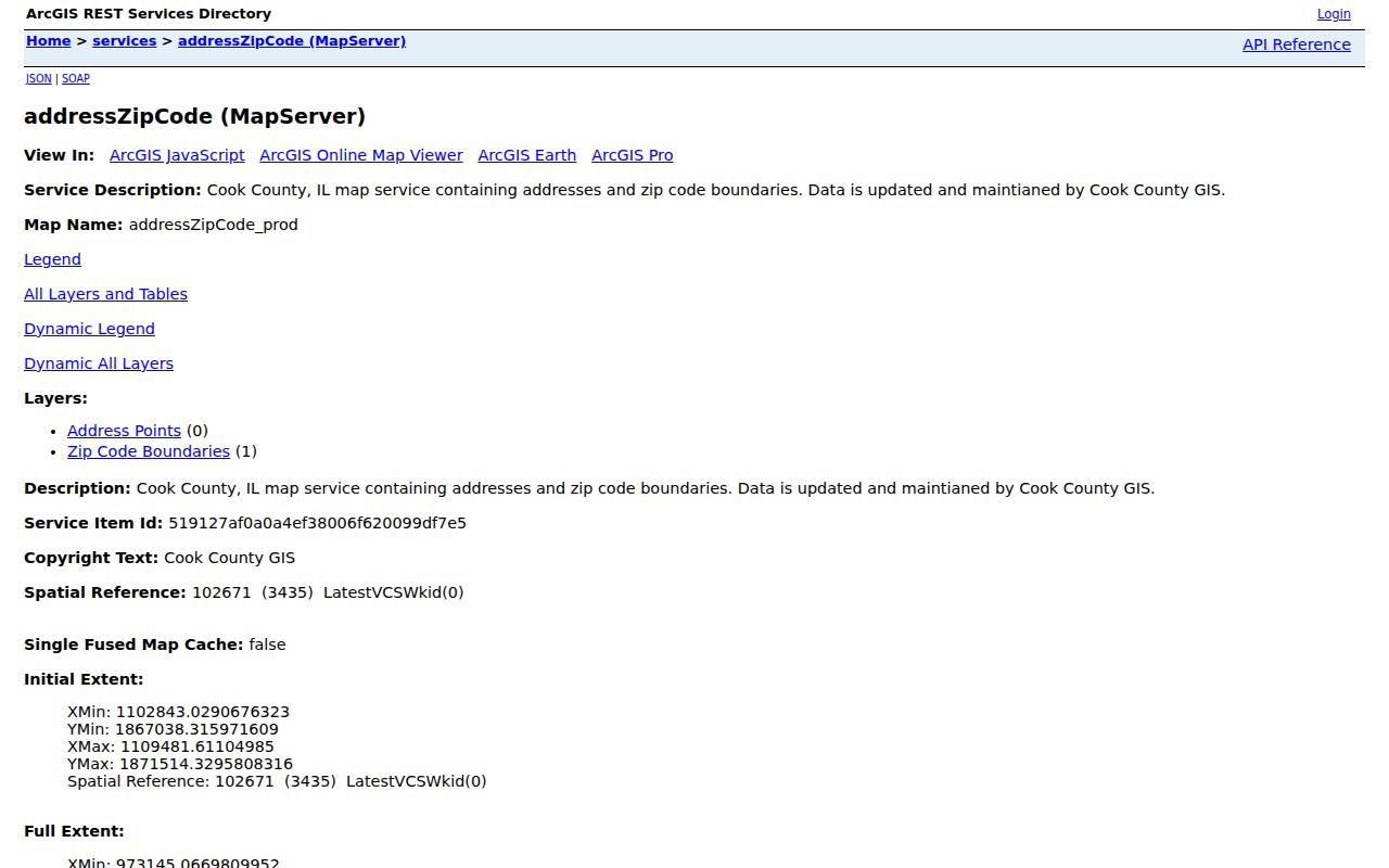
The service confirms that postal values and address points are maintained as county map data, but USPS remains the source for a current delivery assignment.
The boundary sublayer can also be inspected on its own:
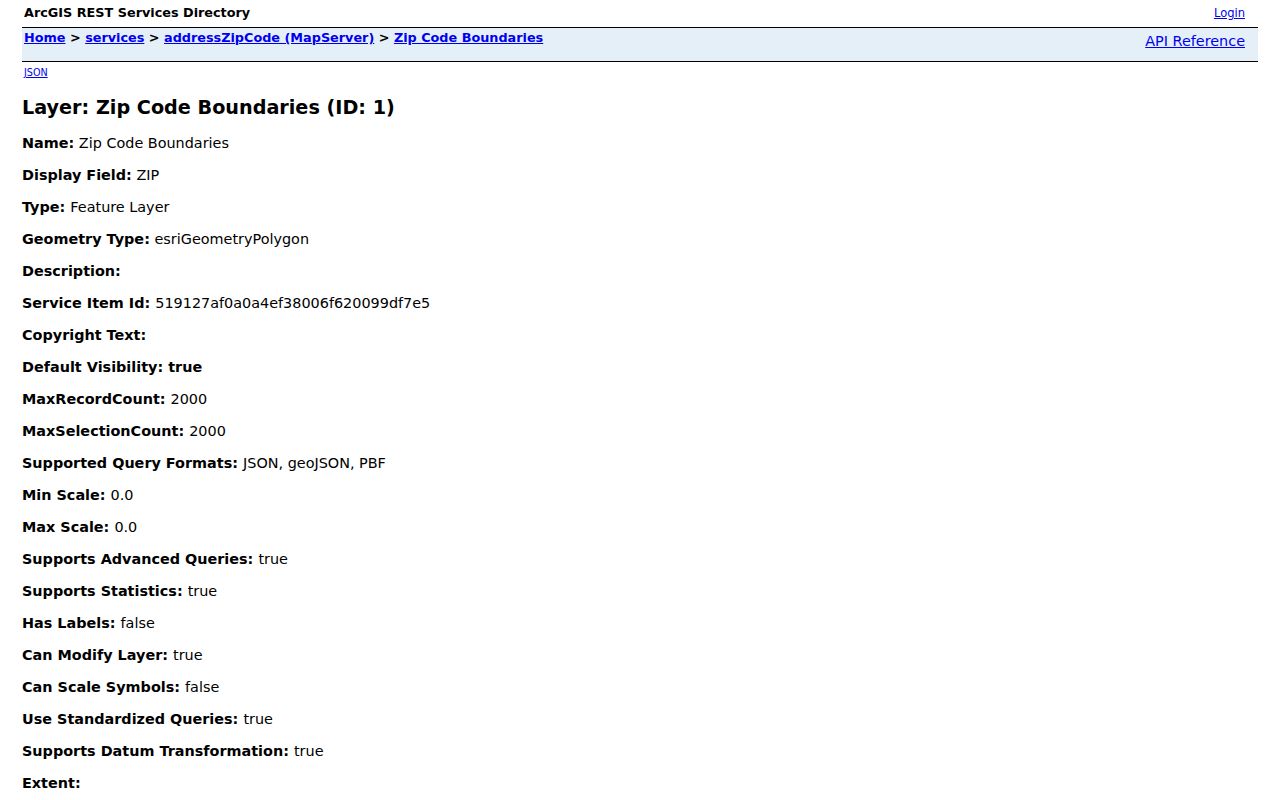
That view helps explain why a boundary count should not be presented as a count of towns, neighborhoods, or residents.
Note: Preserve the duplicate feature in a technical audit, but use the 200 unique values when describing the current Cook County set.
Cook County ZIP Regions
The 600 series covers much of north and northwest Cook County, including areas around Arlington Heights, Barrington, Des Plaines, Glenview, Palatine, Park Ridge, Skokie, Wheeling, Wilmette, and Winnetka. Border ZIPs can touch communities or county edges outside a simple place label. The 601 series runs through western and northwest corridors such as Bartlett, Bellwood, Elgin-area addresses, Franklin Park, Melrose Park, and Schaumburg. Evanston and the Oak Park and River Forest area appear in 602 and 603 values.
South and southwest Cook rely heavily on 604 values, from Berwyn and Blue Island through Calumet City, Harvey, Homewood, Orland, Palos, South Holland, and Tinley Park. Western border communities also use 605 codes. Chicago addresses make up the long 606 run, but even there postal geography can cross the city line. The 607 and 608 groups cover northwest, west, and south-edge communities such as Norridge, Elmwood Park, Lincolnwood, Cicero, Evergreen Park, and Calumet Park.
Search Cook County Residents by ZIP
Official portals do not all treat a ZIP alike. The county property-information portal accepts an optional five-digit ZIP in address mode. The ordinary Assessor address form does not provide a ZIP box; it uses address, city, township, neighborhood, class, and PIN routes. CookViewer accepts an address, PIN, or intersection and displays ZIP layers, but it is not a ZIP-wide people search. The statewide voter form requires ZIP as one piece of an identity match.
- Confirm the complete address with the USPS ZIP Code Lookup. Include the unit when known.
- Compare the postal result with Cook GIS. Note the postal community, municipality, township, and any unincorporated status instead of forcing them into one label.
- Choose the relevant official record. Use the tax portal's optional ZIP for an address search, or provide ZIP with name, birth date, street number, and street on the voter form.
- Move to the parcel PIN or full street address when the task becomes property-specific. The Cook County street directory covers that finer record chain.
USPS shows the public street-level verification route:
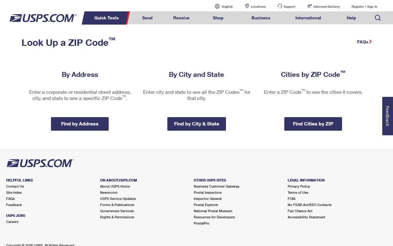
A postal lookup resolves delivery geography; it does not identify owners, occupants, municipal jurisdiction, or the correct legal parcel by itself.
Cook County ZIP Search Fields
Fields must be read according to each portal's purpose. A required ZIP in the voter lookup helps match one submitted voter. It does not list all voters within that code. An optional tax-portal ZIP narrows an address query. Cook GIS can query a polygon or address-point field, while the Assessor form uses other parcel and location keys.
| Cook County source | ZIP control | Required? | What the field does |
|---|---|---|---|
| Illinois voter lookup | Five-digit ZIP | Yes | Works with name, birth date, street number, and selected street to verify a match |
| County property-information portal | Five-digit ZIP in address mode | No | Narrows a property address search |
| Assessor ordinary search | No ZIP box | No | Uses PIN, street address, city, township, neighborhood, and class instead |
| CookViewer | ZIP map layer | No | Displays geography around an address, PIN, or intersection |
| Cook GIS service | Post_Code and Post_Comm | Query field | Connects address points and polygons to postal values and communities |
| USPS lookup | Address or city/state search | Depends on mode | Confirms current postal delivery code for the submitted address |
When a search misses, check the field rather than widening the claim. A parcel may have a mailing address that differs from its property location. A Chicago address may have an old number. A postal community can differ from the municipality recorded by CookViewer. Those distinctions explain many false negatives.
Special Cook County ZIP Values
Codes 60666, 60669, 60674, and 60688 appear in Cook GIS in special downtown, O'Hare, business, or PO-box-like contexts. The retained official sources did not establish a precise current station or institution for every one. Treat them as special delivery values and verify through USPS. Do not turn a special code into a residential neighborhood or assume that a named person occupies a site because an entity uses that ZIP.
Other values also need care. The GIS notes that 60204 and 60208 may have special or institutional contexts. Several Schaumburg-area 601 values can serve offices, large developments, or PO-box-like uses. Code 60499 may also be a special or commercial context. A clean Cook County ZIP code directory labels that uncertainty instead of inventing post-office names.
Cook County ZIP Is Not PIN
A postal code sorts delivery geography. A PIN is Cook County's parcel identification number. A legal description identifies land through subdivision, lot, block, or survey terms. A property location, also called a situs address, helps locate the parcel. A tax mailing address says where correspondence goes. These fields can point to different places and should not be swapped during a records search.
CookViewer is the visual bridge. Its dynamic map service contains current and archived parcels, ZIP boundaries, municipalities, townships, zoning, structures, facilities, and transportation layers. The Cook GIS dynamic map service documents those layers:
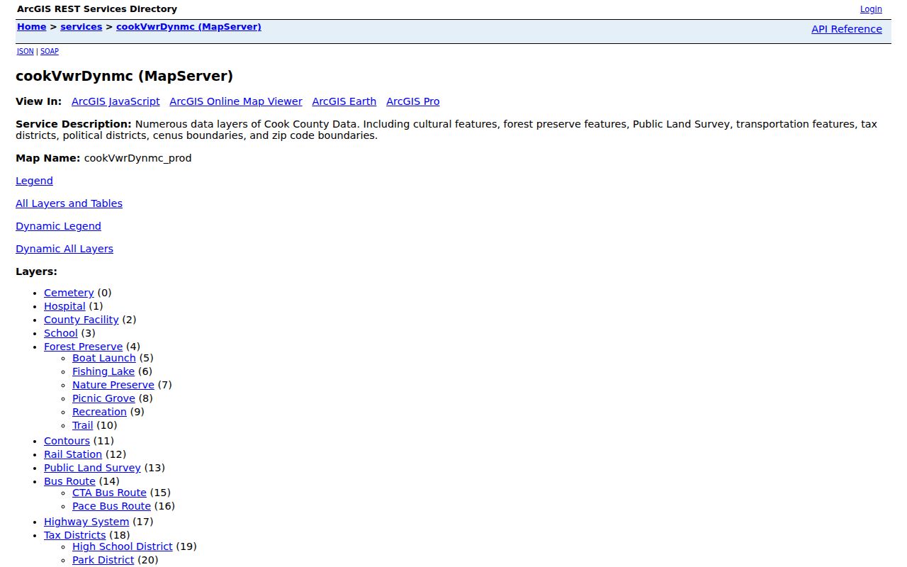
The layer list shows why the same map can compare a parcel, municipality, township, and postal boundary without claiming those lines are identical.
Cook County Border ZIP Pockets
Cook County includes 134 municipalities plus unincorporated pockets. That structure matters when a ZIP reaches across a village line, a Chicago edge, or a county border. Examples in the GIS research include 60620 reaching Evergreen Park, 60631 reaching toward Park Ridge, 60633 including Burnham and Chicago, and 60638 overlapping Bedford Park, Bridgeview, or Forest View. Codes in the Palos, Orland, Calumet, Des Plaines, and Barrington areas also require street-level checking.
A correct municipality decides which local permit, clerk, cemetery, or code office may hold a record. Postal city names do not control those jurisdictions. Use the CookViewer municipality and ZIP layers together:
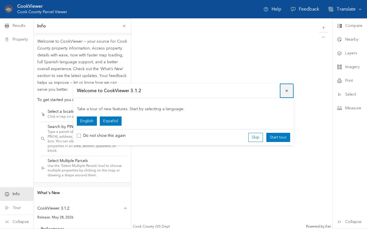
The map comparison makes a border pocket visible before a request is sent to the wrong local office.
Note: A postal city is useful for mail, but the GIS municipality field should guide a jurisdiction-specific public-record request.
Historical Cook County ZIP Checks
No official Cook County chronology of ZIP splits or realignments was located in the retained research. Present boundaries should not be projected onto an old directory, obituary, deed, or voter roll. Preserve the ZIP exactly as printed with its date. Then seek a dated postal source, directory, map, newspaper, or archive record that supports the historical assignment.
Chicago's address history creates a separate trap. The Brennan grid took effect in 1909, with the Loop following in 1911. Older directories may use a former number, street name, or intersection that cannot be found in a modern postal search. Convert the address first, then compare it with period records. The postal code and old house number solve different parts of the problem.
Cook County ZIPs Versus Limits
A Cook County ZIP code directory cannot substitute for city limits, parcel lines, or proof of residence. ZIP values are built for mail delivery. Cook GIS uses separate postal-community and municipality fields because those concepts differ. Suburban border communities, Chicago edge areas, industrial corridors, airports, institutions, and unincorporated land all make the mismatch visible.
Four terms keep Cook County ZIP research precise:
- ZIP and ZIP+4
- A five-digit postal zone and its four-digit delivery segment for a smaller address group.
- PO-box ZIP
- A code used chiefly for post-office boxes rather than ordinary street delivery.
- Unique ZIP
- A code assigned to a high-volume organization or special delivery context.
- Carrier route
- The path used to deliver mail within a postal area; it is narrower than the five-digit code.
Boundary check. Confirm the USPS delivery code, Cook GIS municipality, and parcel PIN separately before linking a resident record to a jurisdiction.